
 568k
568k  233k
233k  41k
41k  Subscribe
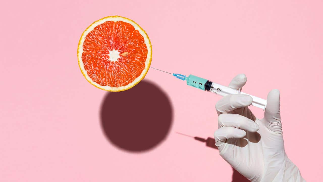
What Are GMOs?
Genetically modified organisms (GMOs) are organisms that have been modified in a laboratory in order to produce a specific result. For example, many types of food sources, especially corn and soybean crops, are genetically modified in order to withstand herbicides and insects. This method stems from the concept of selective breeding and dates back to at least 8000 BCE, although genetically altering DNA didn’t happen until 1973.
Austrian monk Gregor Mendel is credited with identifying the founding principles of genetics when he crossbred two pea breeds in 1866. In 1922, hybrid corn made its commercial debut, while plant breeders discovered how to alter DNA with radiation and chemicals in 1940. After 1973, the FDA approved insulin in 1982 as the first genetically engineered product for human use. However, genetically modified food didn’t get FDA approval until 1994, when a GMO tomato became the first to go commercial. While on the surface it appears that GMOs are 100 percent positive, they have been surrounded by controversy for decades.
How Are GMOs Made?
Creating GMO plants first involves identifying and isolating a desired trait, from the aforementioned herbicide resistance to drought resistance to disease tolerance. That trait is then copied and inserted into the plant DNA that’s being modified, with the final result initially grown in a lab. The seeds from successful modifications are then sold to farmers.
Current Use of GMOs
Besides corn and soybeans, other commonly grown GMO crops in the U.S. include cotton, canola, potatoes and sugar beets. The latter are used to make granulated (or white) sugar; in fact, more than half of this type of commercially sold sugar comes from GMO sugar beets. GMO-derived ingredients are also prevalent in processed foods, such as lecithin and emulsifiers from soybeans; canola and cottonseed oil used in packaged goods; and high-fructose corn syrup, which is found in everything from soft drinks and salad dressing to bread and sweetened yogurt. While it’s often thought that GMOs are only found in processed food and drink, genetically modified produce exists as well: apples, summer squash and papaya are among the ones grown in the U.S.
GMO grains are also fed to the majority of livestock (cows, chickens) used in the meat and dairy industry, with corn, soybeans and alfalfa ranking as the most popular choices. The FDA claims that livestock fed a GMO diet pose no greater risk to human health than ones that aren’t, and so far there haven’t been any conclusive studies that prove otherwise.
In the meantime, the benefits appear to outweigh any possible risks, although these might be more apparent to farmers and the agricultural industry than to consumers, since GMO crops can be altered to better withstand drought conditions and pests, require less pesticide, cost less money to grow and even increase nutritional value.
Are GMOs Safe?
Though unproven, GMOs have been tied to everything from reduced fertility to cancer. GMOs are considered safe by the FDA, but long-term effects are still being studied, and these studies have only been performed on animals.
Cancer
Although correlations exist, there are currently no definitive studies that GMOs cause cancer, and this is the stance of cancer organizations in the U.S., UK and Australia. A 2013 study raised concerns when it studied the effect of glyphosate, the active ingredient used in most herbicides on GMO crops, in human breast cancer cells. The results suggested that glyphosate could cause breast cancer, but the lab study also used breast cell tissue that was already cancerous. Another study, this time from the International Agency for Research on Cancer in 2015, reported that glyphosate doubled the risk of non-Hodgkin’s lymphoma, a type of blood cancer. It connected the highest risk to farmers and farm workers, and California has since added glyphosate to its list of cancer-causing chemicals. It should be noted that glyphosate is the main ingredient in the popular weedkiller Roundup, which has been linked to thousands of cases of non-Hodgkin’s lymphoma. Despite this, the EPA has declared glyphosate isn’t likely to pose a cancer risk in people.
The question remains whether or not GMO crops require more pesticides (including herbicides and insecticides) than non-GMO crops. A 2016 study examined this issue. On the one hand, GMO crops altered to resist insects technically don’t require additional insecticide. On the other hand, it turns out that farmers sprayed more weedkillers on glyphosate-tolerant corn after 2007. The same goes for glyphosate-tolerant soybeans. As to why, a co-author of that study suggested it was due to weeds becoming more resistant to glyphosate over time.
Organs
In 2011, the journal Environmental Sciences Europe reviewed 19 studies involving animals that were fed GMO diets of corn and soybeans. It concluded possible links between this diet and kidney and liver disorders, as well as altered body weight and genital cancer in second-generation females, but that further research was needed. A more recent 2019 study published in GMO Science also suggested a link between liver and kidney damage in rats fed a GMO corn diet. However, this particular diet involved Monsanto-engineered corn for the Egyptian market containing a pest-deterring insecticide. The earlier study also fed rats an insecticide variant.
Fertility Problems
A 2014 study possibly linked fertility issues to GMO-heavy diets, while a 2018 study in the Journal of the American Medical Association suggested that pesticide-tainted food, often associated with herbicide-tolerant GMO crops, might have been the cause behind 100,000 unsuccessful pregnancies at fertility clinics. While the study recommended that pregnant women and those trying to conceive should avoid pesticides and GMOs where possible, it didn’t measure how much of participants’ pesticide consumption came from GMO foods that were pesticide resistant.
Offspring
According to a 2015 Harvard University article, various studies haven’t proven any causation between GMO consumption and negative impacts on offspring. The article cites a South Dakota State University study that tracked rats eating GMO corn for four generations, including pregnant rats, and did not find any changes in offspring size or organ damage. It should be noted that GMOs can be found in non-organic baby food, and just like other food studies, the long-term effects are unknown at this time.
Allergies
An early study in the ’90s found a possible allergic reaction to GMO soybeans, but that was only upon adding a nut protein, and only affected people with specific nut allergies. The FDA states that people are only apt to be allergic to a GM food if they’re already allergic to the non-GM version, such as soy.
DNA Mutations
There have been some concerns that eating genetically altered food would alter human DNA. Bruce Ames, a Professor Emeritus of Biochemistry and Molecular Biology at the University of California in Berkeley, developed a test to track mutations from food, and this test has been used on GMO corn and tomatoes without any findings to suggest a connection. The Royal Society, one of the world’s oldest scientific organizations, asserts that one doesn’t affect the other, and that the DNA in GM food is no different from the DNA in non-GM foods.
Pros and Cons of GMOs
Pros of GMOs
As touched upon earlier, GMO crops are meant to provide benefits. For example, certain GMO crops technically require less pesticide, while other GMO crops can achieve higher yields or withstand droughts.
Added Nutritional Value
Some GMOs can also boost a food’s nutritional value, although this area has been mired in controversy. Take Golden Rice, which is just white rice that’s been modified with Vitamin A to help prevent blindness and other Vitamin A deficiencies, especially in children, in developing countries. While a good idea in theory, Golden Rice has been caught in a 20-plus-year battle due to opponents who question the rice’s safety and effectiveness. Although the Philippines approved Golden Rice for the commercial market in 2020, it has yet to reach consumers.
Increased Food Supply
Besides the potential to add nutritional value, GMOs are another way to possibly reduce world hunger. Food demand is expected to grow 70 percent by 2050, and that requires even more deforestation going forward. However, GMO crops could prevent that in a number of ways, such as employing modifications that would double production yields without requiring additional land. That’s already the case with cotton crops in developing countries, where GMO cotton has increased yields in India and China. Although GMO food crops are currently banned in India and other nations that could benefit from an increased food supply.
Combat Climate Change
Then there are climate crisis considerations. There are studies indicating that GMO crops have reduced pesticide spraying by 8.7 percent, while less soil tillage and fuel dependence have decreased greenhouse gas emissions that are the equivalent to 15 million fewer cars on the road. Additionally, larger GMO crop yields resulting from drought resistance, among other reasons, have reduced the need for farmers to acquire more land. Scientists are also researching ways that GMOs can actively fight climate change, such as altering plants that can remove carbon dioxide from the atmosphere, require less sunlight or convert nitrogen for growth purposes. GMO crops could even reduce methane emissions from livestock by employing plants that create less methane from consumption.
Cons of GMOs
Besides the negative health implications and increased herbicide usage already covered, there are additional drawbacks for the environment and farmers.
Superweeds
There have been claims connecting GMO crops to superweeds, where, instead of reducing a reliance on pesticides, certain crops have become more herbicide resistant, thus requiring greater usage of weedkillers such as Monsanto’s Roundup. The elephant in the room is the fact that until recently Monsanto owned the majority of the country’s GMO seeds. Roundup has been linked to thousands of cases of non-Hodgkin’s lymphoma, leading to a $10 billion settlement from Bayer, who acquired Monsanto in 2018. A 2018 study stated that 38 global weed species have become resistant to glyphosate.
Decreased Pest Resistance
Insects, similar to weeds, are becoming increasingly tolerant of pest-resistant GMO crops, particularly cotton and corn. Known as Bt crops (Bacillus thuringiensis), due to the type of bacteria that makes them pest-resistant, they initially worked to resist common threats such as bollworms and rootworms, and reduced the need for insecticides. However, new strains of these pests are no longer deterred by GMO crops modified to resist them, re-upping the need for insecticides.
Biodiversity Loss
Increased Roundup and herbicide usage has also been tied to dwindling monarch butterfly populations, one of many biodiversity issues. That’s because the toxin also kills milkweed, the main diet for monarchs and commonly found in crop fields.
Farmer Suicides
In recent decades, India has attracted attention for its farmer suicide rate, which some have attributed to the GMO industry. There have been about 300,000 farmer suicides in the past twenty years, and biotech opponents blame these on the GMO cotton sector, which is the only industry allowed to use GM crops. The majority of the country’s cotton comes from modified Bt cotton seeds. The supposed problem is the rising cost of these seeds, which many farmers can’t afford and often go into debt for in order to buy them; bad crops and fluctuating global cotton prices often create a debt spiral that’s hard to recover from. Yet there are studies that dispute a connection between Bt cotton and farmer suicide rates, instead suggesting that the reverse is true due to higher crop yields.
Besides the theory that Bt cotton is sending growers into debt, there’s the other issue of bollworms becoming resistant to GMO cotton, requiring heavier doses of pesticides. Due to different regulations, it’s not uncommon for fieldworkers to apply toxic chemicals without the proper protection, or even shoes and masks.
Adding another layer, a different paper found that small farms were at a higher risk for suicide rates than large ones since they depend more on rainwater for successful crops than large operations, which use irrigation pumps. If anything, the study authors found the bigger problem is the threat of groundwater shortages for large farms, since groundwater usage is unregulated.
Seed Sovereignty
Not least is the matter of seed sovereignty, giving farmers the freedom to use whatever seeds they wish, thereby decreasing reliance on major seed companies who favor patented GM seeds. Seed sovereignty is an ongoing issue that’s been ceding control to large corporations concerning which seeds farmers can plant.
Which Foods Might Contain GMOs?
Though GMOs appear prevalent, there are only a small number of GMO crops grown in the U.S. The most common are corn, soybeans, sugar beets, canola and cotton. However, about 90 percent of these crops use GMO seeds. There are also GMO alfalfa crops, used mostly for livestock feed. GMO versions exist for some produce, including apples, summer squash and papaya. Ranger Russet, Russet Burbank and Atlantic potatoes all have GMO versions, and are sold under the White Russet label.
While it appears easy to avoid some GMO foods, such as produce sold under a particular label, others, including GMO corn, soybeans and canola oil, can turn up in unexpected places. For example, corn can pop up in anything containing high fructose corn syrup, dextrose or glucose, and encompass bread, cereal, soda, frozen meals and even Vitamin C supplements. GMO soy can be found in infant formula, protein drinks, tofu, edamame, canned tuna and salad dressing. It’s a safe assumption that unless an item is sold under an organic label or is considered a whole food, it likely contains GMOs.
Then there are GMO foods which are marketed as healthy vegan alternatives to meat, such as the popular brand of Impossible Burgers. Sold by major chains, from White Castle to Bareburger, the plant-based burgers contain GMO soy protein and heme, the molecule responsible for replicating the realistic beef-like taste and appearance. This molecule is genetically engineered by combining soybean DNA with yeast.
In 2015 the FDA approved AquAdvantage Salmon, a genetically engineered Atlantic salmon. This new salmon grows faster than non-GE Atlantic salmon due to a hormone from Chinook salmon. The FDA asserts that this GE salmon will be labeled as bioengineered. AquaBounty, the company behind the new salmon, plans to sell it to consumers sometime in 2021. So far many entities, from Aramark and Walmart to supermarkets and restaurants, have refused to carry the salmon.
It’s worth noting that GMOs aren’t limited to food. Most cotton, whether produced in the U.S. or abroad, actually comes from the aforementioned Bt cotton seeds. So unless organic cotton was used, most clothes, bedding and towels are GMO goods. Although GM cotton also enters the food supply via cottonseed oil derived from cotton seeds, and the oil can be found in potato chips, baked goods and pasta sauce.
What Is Being Done About GMOs?
GM Labeling
Due to the unknown long-term health effects from GMOs, along with environmental protestors and preliminary studies linking them to health risks such as cancer, they’re banned, or partially banned, in 19 out of 27 EU countries, including France, Greece, Italy, Germany and much of the UK. Additionally, GMOs are currently banned in Russia, Turkey, Saudi Arabia, Peru, Venezuela and most African countries.
The EU also requires GMO labeling, something the U.S. has resisted, but will start adding in January 2022. At that point foods containing certain types of GMO ingredients will be required to display a “bioengineered” label.
CRISPR
CRISPR is a type of gene editing technology that can precisely alter cells; a new technique allows for plant alteration without introducing foreign DNA, hence the end result is not a GMO. While this new technology could positively alter the current GMO landscape, it’s still in the rudimentary phase.
Monitoring
There are some organizations such as the Non-GMO Project that independently monitor products for GMOs and verify whether or not certain standards are met. The site also facilitates checking specific food items for their GMO status and provides guidance for identifying potential GMO foods.
In the meantime, the FDA continues to monitor and regulate GMOs, which involves working with other government agencies to ensure that the same safety standards are met as non-GMO foods. This includes monitoring pesticide usage.
Otherwise, beyond ongoing independent studies, the American Medical Association, the National Academy of Sciences, the American Association for the Advancement of Science and the World Health Organization, among others, have all deemed GMOs safe and as such no further action is being taken at this time in the U.S beyond GMO labeling.
What Can You Do?
Consumers can err on the side of caution by choosing organic food and goods whenever possible, buying from local farms, looking for non-GMO certification labels and reading ingredient lists. The Non-GMO project also breaks down which crops are deemed most likely to be genetically modified, along with listing high-risk, animal-derived ingredients. Some of the items might be surprising, including honey and eggs, due to the amount of GMOs used in crops and livestock feed.
Takeaway
At of time of publication there is no conclusive evidence that GMOs as a whole are more harmful than non-GMOs, whether to one’s health, the environment or farmers, so it appears that avoiding GMOs entirely would have a negligible impact based on the current facts available.
Meredith Rosenberg is a senior editor at EcoWatch. She holds a Master’s from the Newmark Graduate School of Journalism in NYC and a B.A. from Temple University in Philadelphia.