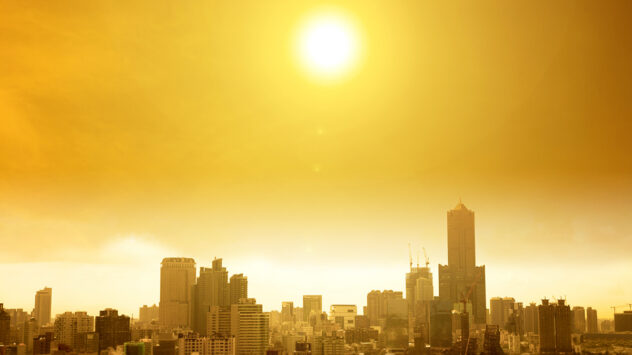
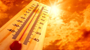
By Dr. Jeff Masters September 2017 was the planet’s fourth warmest September since record keeping began in 1880, said the National Oceanic and Atmospheric Administration’s (NOAA) National Centers for Environmental Information (NCEI) and NASA this week. The only warmer Septembers came during 2015, 2016 and 2014. Minor differences can occur between the NASA and NOAA […]
By Jeff Masters The top weather story of 2016: Earth had its warmest year on record (again)! While the final numbers are not officially tabulated, 2016 appears certain to be the warmest year in every major dataset scientists use to track global warmth. Scientists Say 2016 Is Hottest Year Ever Recorded https://t.co/uRy1L8T2Qa @ClimateReality @sierraclub @NRDC […]
By Jeff Masters Here’s a 2017 New Year’s resolution I’d like to see the nations of the world adopt: an immediate international effort to invest in a world where 100 percent of our electricity will be generated by wind, water and solar power by 2050. Boone, NC Passes Historic Resolution:Ditch Fossil Fuels, Go 100% Clean […]
By Bob Henson Between a record-strong El Niño and catastrophic floods, fires and drought, 2016 was a memorable year for weather and climate in North America as well as globally. What can we expect as we roll into 2017? A precise weather forecast is asking too much, but there is already a lot we can […]
By Jeff Masters November 2016 was Earth’s fifth warmest November since record keeping began in 1880, said NOAA’s National Centers for Environmental Information on Monday. November 2016 was 0.7 C (1.31 F) warmer than the 20th-century November average, but 0.23 C (0.41 F) cooler than the record warmth of 2015. NASA reported that November 2016 […]
By Bob Henson The autumn of 2016 was the warmest ever observed in records going back to 1895 for the 48 contiguous U.S. states, according to data released Wednesday by NOAA’s National Centers for Environmental Information (NCEI). The nation’s average September-to-November temperature of 57.63 F was a full 1.05 F above the previous autumn record, […]
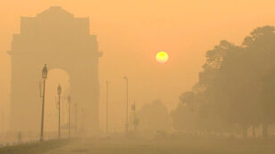
By Bob Henson The atmospheric spigots have been turned off across most of the U.S. over the last several weeks. According to the weekly U.S. Drought Monitor report from Nov. 10, more than 27 percent of the contiguous U.S. has been enveloped by at least moderate drought (categories D1 through D4). This is the largest […]
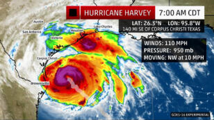
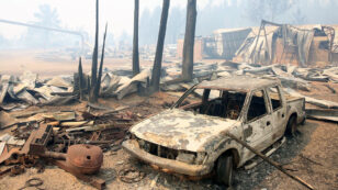
By Jeff Masters and Bob Henson After a devastating 12-day rampage from the Caribbean to the U.S. Mid-Atlantic, Hurricane Matthew was reclassified as a post-tropical cyclone at 5 a.m. EDT Sunday by the National Hurricane Center (NHC). Matthew wasn’t exactly slacking off—its top sustained winds remained 75 mph as of NHC’s 2 p.m. Sunday advisory—but […]

 568k
568k  233k
233k  41k
41k  Subscribe