
 568k
568k  233k
233k  41k
41k  Subscribe
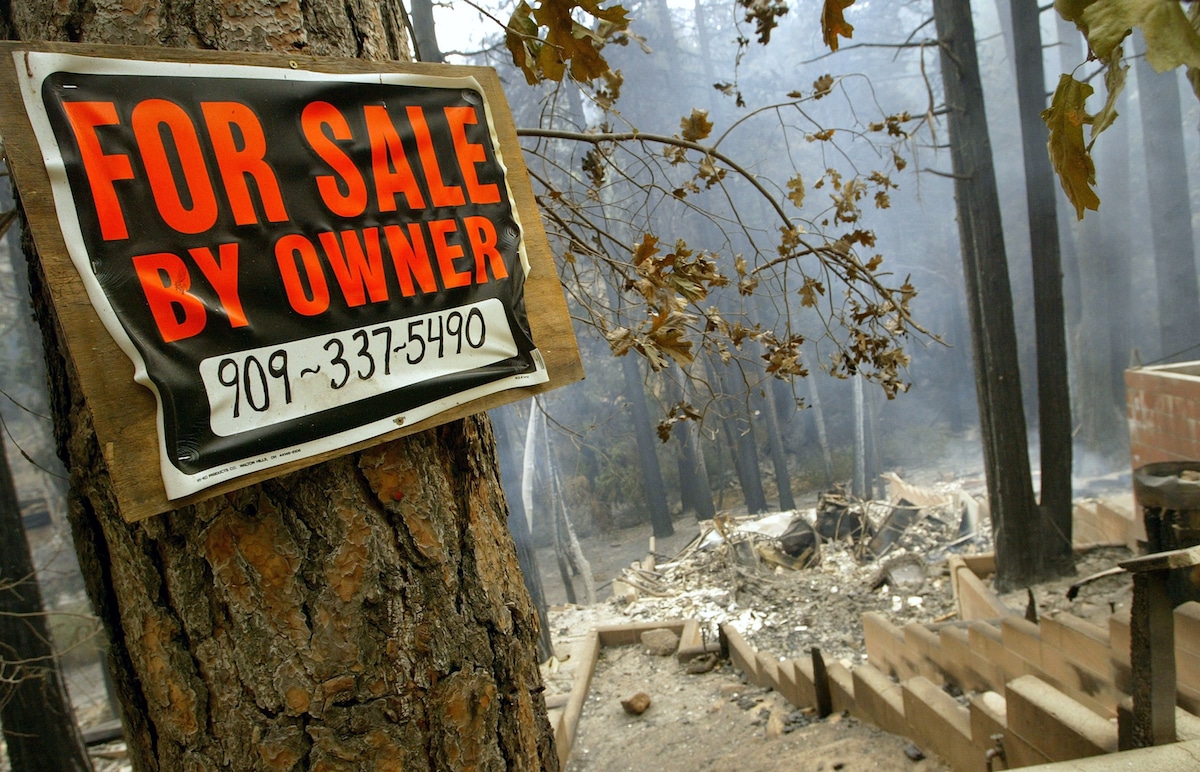
For homeowners, it’s relatively easy to find out if a property is located in an area prone to disasters like flooding or earthquakes. But it hasn’t always been clear to know if a home is at risk of wildfires, despite more and more homes being destroyed by wildfires each year as climate change increases the risk of these disasters. Now, a new online tool will allow homeowners or those looking to buy a home to know how much wildfire risk a property faces.
Risk Factor is an online tool that allows homeowners to input an address and determine the property’s risk for wildfire and floods based on past disasters, ongoing risks and projections. The tool was created by nonprofit First Street Foundation, which aims to make climate risk easier to understand and take action against.
While other maps exist to share general areas prone to wildfires, the new Risk Factor tool is unique in that it tracks specific addresses and ranks each property’s risk of flooding and fire on a scale from 1 to 10. From there, it includes risks for the general area, information about what kind of damage fires or floods could cause to the property and details on past fire and flood events in the area around the address.
“The First Street Foundation Wildfire Model determines any home’s probability of burning by identifying potential ignition points from both natural and man-made sources, calculating how local fuels, landscape, and fire intensity will contribute to flame spread and ember cast, and quantifies the risk to the structure based on whether the home was built before the implementation of modern fire codes, its building materials, and distance to nearby vegetation,” the Risk Factor website states.
According to First Street Foundation, flooding is the most expensive disaster in the U.S. at over $1 trillion, adjusted for inflation, in damage since 1980. Wildfires are the fastest-growing disaster, expected to cost $16 billion by 2029, three times higher than the previous decade.
The Risk Factor tool will provide its information for properties on Realtor.com and is set to expand to other real estate websites later, as reported by NPR. Buyers will be able to see past, current and projected events and risks for wildfires for the first time.
“The results are going to be surprising for some folks to say the least,” Matthew Eby, executive director of First Street Foundation, told NPR. “What we see is that in some areas that risk will double, triple, quadruple. And in areas that really have high levels of risk already, like California, we see almost a 50% increase.”
The tool isn’t perfect, but it can be helpful for climate risk mitigation. First Street Foundation also recommends using the Risk Factor tool together with other resources, including Federal Emergency Management Agency (FEMA) flood maps, the USDA Forest Service’s WildfireRisk.org tool and other local risk resources.