568k
568k  233k
233k  41k
41k  Subscribe
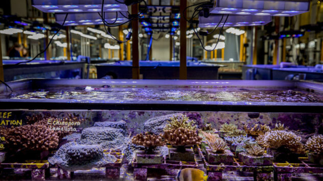
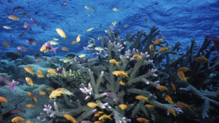
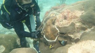
Lab-Grown Corals May Prevent Reef Bleaching
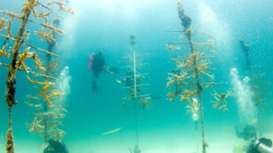
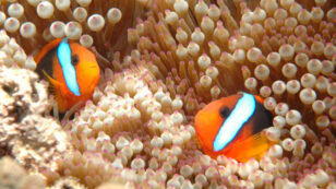
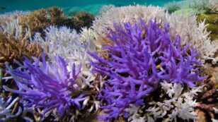
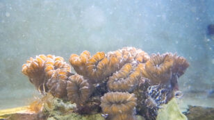
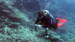
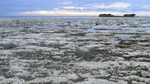
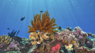
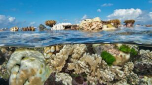
By Johan Augustin In a lab on Australia’s east coast, scientists are concocting what they hope will be the solution to the steadily worsening problem of coral bleaching. Few people understand the Great Barrier Reef, and the challenges it faces, better than the scientists at the Australian Institute of Marine Science (AIMS). And events of […]