
 568k
568k  233k
233k  41k
41k  Subscribe
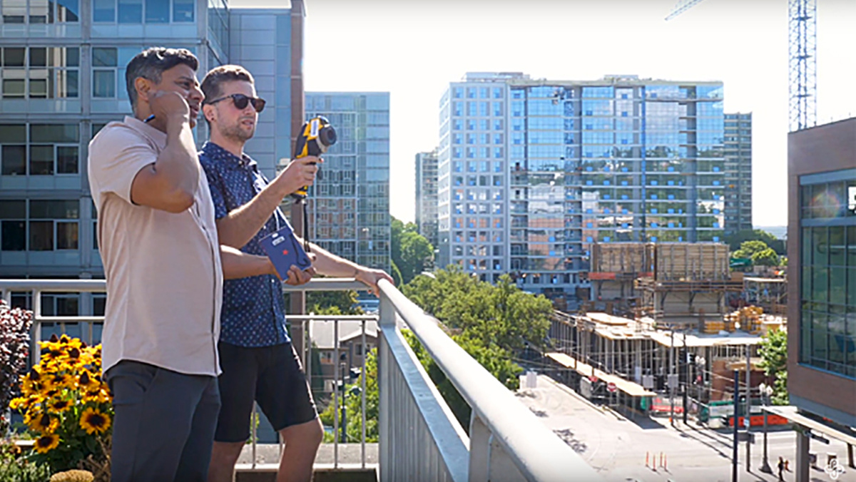
Mapping Urban Heat through Portland State University / video
Concrete and asphalt absorb the sun’s energy. So when a heat wave strikes, city neighborhoods with few trees and lots of black pavement can get hotter than other areas — a lot hotter.
“Fifteen, 18 degrees Fahrenheit difference across the city at the same time,” said Vivek Shandas of Portland State University.
Over the last few summers, the project partnered with local groups in Washington, DC, Portland, Boston and other cities. Volunteers use cars equipped with sensors that gather temperature and humidity data.
Shandas and his team use that data to create digital maps showing how temperatures vary block by block. The hottest areas are often low-income, underserved neighborhoods.
Shandas said getting residents involved in collecting data can help inspire local solutions.
For example, people may initiate tree planting projects targeted at the neighborhoods that need them most.
“The partnerships have been really instrumental in being able to get the communities together, to convene them, to go out and do this campaign, and then to come back and start interpreting what it is that they’re seeing and ultimately what it is they can do about it,” he said.
Reposted with permission from Yale Climate Connections.
- Heat Waves and How to Cope With Them - EcoWatch
- How Extreme Weather Threatens People With Disabilities - EcoWatch