
 568k
568k  233k
233k  41k
41k  Subscribe
5 Fascinating Google Earth Time-Lapse Videos Show 32 Years of Climate Change
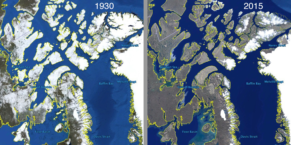
Google Earth has added four years of new data along with high-resolution satellite imagery to its time-lapse feature, which is available to anyone who wants to see how the planet has changed since 1984. You’ll see glaciers receding, cities growing and lakes shrinking.
Satellite data now ranges from 1984 to 2016 and includes more than 5 million satellite images from the past 32 years by five different satellites. Most of the images come from Landsat 8. Launched by NASA in 2013, it orbits 438 miles above the Earth, imaging the entire planet every 16 days. Additional images come from Sentinel-2, launched in 2015 by the European Space Agency to provide environmental monitoring.
'Shockingly Stupid': #Trump 2 Eliminate @NASA #Climate Research https://t.co/WRmIIgY4Sb @MichaelEMann @BillNye @sierraclub @NRDC #TrumpWatch
— EcoWatch (@EcoWatch) November 24, 2016
Google combined these images into one cloud-free mosaic for each year. They are completely pannable and zoomable, and you can try it out for yourself with the Google Earth Engine time-lapse tour editor. Here’s a sampling of some fascinating time-lapses provided by Google Earth Engine.
Watch how Fort McMurray has changed as tar sands oil development has grown. In May 2016, an out-of-control wildfire erupted in this area, causing the mass evacuation of 100,000 people:
This time-lapse reveals the rapid shrinkage of the Columbia Glacier in Alaska, which has retreated 10 miles since 1982:
The Aral Sea was once one of the four largest freshwater lakes in the world. By 2007, it had shrunk to one-tenth of its former size. Now, China’s Poyang Lake is following the same fate:
Watch how Las Vegas has grown as Lake Mead has shrunk. A reservoir that serves 20 million people, it reached its lowest level ever in 2015:
China’s city of Chongqing has grown to 30 million inhabitants, swallowing up the landscape: