
 568k
568k  233k
233k  41k
41k  Subscribe
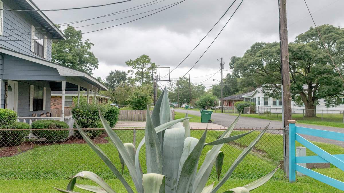
A neighborhood in Reserve, Louisiana on Aug. 12, 2021. Silos, smokestacks and brown pools of water line the banks of the nearby Mississippi River, where scores of refineries and petrochemical plants have metastasized over a few decades to form "Cancer Alley." EMILY KASK / AFP via Getty Images
An extensive analysis by ProPublica reveals a detailed map of more than 1,000 American communities that are hotspots for carcinogenic air pollution.
The worst three are in Louisiana’s “Cancer Alley,” five of the top 20 are in Texas, and predominantly Black areas experience double the cancer risk of white areas.
“Go read this investigation on the toxic air crisis plaguing American communities,” the Verge wrote of ProPublica’s investigation.
As reported by The Verge:
The ProPublica investigation underscored weaknesses in how the EPA regulates air pollution. While the agency strictly regulates “criteria” air pollutants like particulate matter, it doesn’t set limits on emissions of over 180 so-called hazardous air pollutants. And instead of tracking the cumulative emissions of dangerous chemicals in each area, it looks at pollution like refineries and shipyards one by one — an approach that underestimates the extent to which people living around multiple chemical plants are exposed to toxic air.
“The public is going to learn that EPA allows a hell of a lot of pollution to occur that the public does not think is occurring,” Wayne Davis, an environmental scientist who used to work at the EPA’s Office of Chemical Safety and Pollution Prevention, told ProPublica.
https://twitter.com/propublica/statuses/1455460480873639938
For a deeper dive:
For more climate change and clean energy news, you can follow Climate Nexus on Twitter and Facebook, sign up for daily Hot News, and visit their news site, Nexus Media News.